


A fresh Western disturbance is expected to bring scattered rain to parts of North India late Tuesday night into Wednesday, along with light snowfall in the Himalayan region. Weather experts say the system may affect Delhi, Punjab, Haryana, western Uttar Pradesh and parts of Madhya Pradesh.
Rain Likely Across North Indian Plains
The incoming system may trigger light to moderate rainfall in isolated pockets of northwestern India. Southeastern districts of Punjab, including Ludhiana and Patiala, could see brief showers. Several areas of Haryana such as Hisar, Sirsa, Fatehabad, Rohtak, and Gurugram may also experience rainfall.
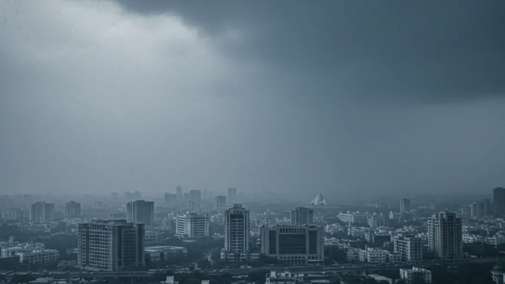
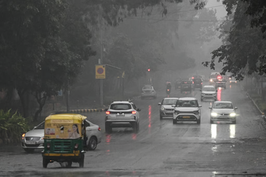
Delhi and the National Capital Region are likely to witness cloudy skies with chances of light rain or thunderstorms. Weather observers suggest activity may remain scattered rather than widespread.
In western Uttar Pradesh, rainfall is possible from Meerut to Lucknow and Bahraich. Cities including Agra, Kanpur, Mathura, Jhansi, and Lalitpur may also see passing showers.
According to independent weather analyst Devendra Tripathi of Mausam Tak, the overall intensity of this Western disturbance is not expected to be strong. However, isolated thunderstorms cannot be ruled out.
For more updates on changing weather patterns, read our coverage on [North India temperature trends this week] and [Delhi rainfall outlook for February].
Light Snowfall in Himalayan States
Higher elevations of Himachal Pradesh and Uttarakhand may receive light snowfall as moisture interacts with colder air over the mountains. The India Meteorological Department (IMD) has noted that such systems typically bring brief but impactful weather activity to the region.
You can track official bulletins through the India Meteorological Department website for district-level advisories.


Snowfall may temporarily affect travel in higher passes and tourist destinations. However, no major disruption is anticipated at this stage.
Weather experts explain that Western disturbance systems originate in the Mediterranean region and travel eastward, drawing moisture as they move across northern India. Their intensity depends on upper-air wind patterns and surface temperatures.
Western Disturbance: Limited but Noticeable Impact
Although some social media posts have hinted at heavy rain alerts, experts caution against overstating the system’s strength. Current atmospheric conditions suggest only limited rainfall activity.
Northern and eastern Rajasthan may receive light rain at isolated locations. Northern Madhya Pradesh, including Bhopal, Gwalior, Rewa, Sidhi, and Singrauli, could also experience brief showers.
If dense cloud clusters develop, thunderstorms accompanied by gusty winds or occasional hail cannot be ruled out. Such events, however, would remain localised.
This pattern is typical during seasonal transition periods when winter gradually gives way to pre-summer conditions. Temperature fluctuations and unstable air masses often support short-lived weather systems.
For a broader explanation of how these systems function, refer to the World Meteorological Organization’s overview on mid-latitude disturbances.
Separate System Over Bay of Bengal
A different weather system over the Bay of Bengal is currently bringing heavy rainfall to Sri Lanka. Its influence may extend toward coastal Tamil Nadu and Kerala in the coming days.
Cities such as Thanjavur, Cuddalore, Kanyakumari, Thiruvananthapuram, and Kochi could see intermittent rainfall. Cloud cover may gradually spread toward Bengaluru, Chennai, Puducherry, and Coimbatore.
However, most other regions of India are expected to remain largely dry during this period.
What Residents Should Expect
Residents in affected areas can expect short spells of rain rather than prolonged downpours. Winds may strengthen during thunderstorm activity, especially in open plains.
Farmers in parts of Punjab, Haryana, and western Uttar Pradesh should monitor local advisories. Light rainfall may benefit standing crops, but hailstorms, if they occur, could cause localised damage.
Commuters in Delhi and nearby cities should allow extra travel time if showers develop during peak hours. Mountain travellers are advised to check road conditions before planning trips.
Seasonal Transition Underway
Meteorologists note that February often marks a transition phase in northern India. During this period, Western disturbance systems become less intense compared to peak winter months.
Daytime temperatures may dip slightly after rainfall, but no significant cold wave is expected. Skies are likely to clear within 24 to 48 hours after the system moves eastward.


Weather patterns remain dynamic during this time, and further updates are expected depending on atmospheric developments.
To learn more, follow Shabdsanchi’s social media pages today and stay updated.
- Facebook: shabdsanchi
- Instagram: shabdsanchiofficial
- YouTube: @shabd_sanchi
- Twitter: shabdsanchi